In a lightning strike of inspiration, having never been to Arhangelos itself, I asked a friend who lives there if I could visit and use it as the subject of this episode. Firstly, yes I know we might spell it Archangelos, but the Greek χ (ch) is soft – so recent practise is to call it Arhangelos as evidenced by the road signs.
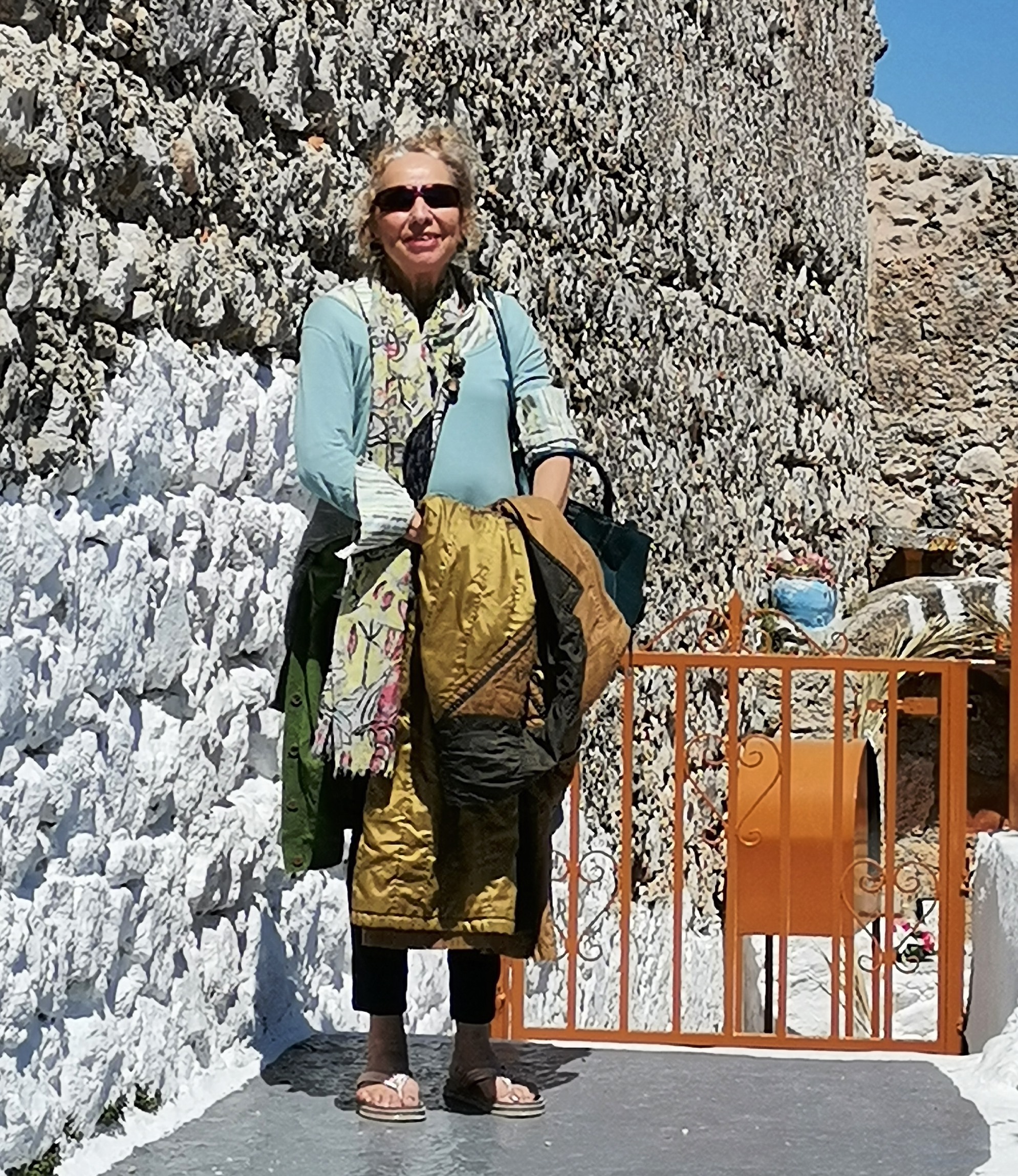
We arranged a suitable day and I arrived in time for coffee. It is around 35-40 minutes drive from Rhodes town, on the eastern side of the island, just over half way to Lindos. It is somewhere you pass by, and never stop! Karla met me at the main road, guided me to the centre and we enjoyed lattés in the sunshine at Gregory’s (γρήγορα – quick!) – a café chain that has proliferated in recent years. It was a perfect day for touring the town and finding out its history.
The town has expanded into a valley surrounded by high hills. The old town clings to the side of the southern massif with views across the newer developments towards Tsambika mountain to the north. According to the guide book the village was originally agricultural, with a tradition for carpet weaving and hand made goatskin boots – the double boots I mention later. Large citrus groves are cultivated inland on the flood plains of the major rivers – Malona oranges and mandarins are piled high in the Saturday market and Massari has an orange festival. As well as being agricultural it is also a bustling commercial and administrative centre.
An indigenous miniature horse (110 cm) existed in this area. These were common across the Aegean, and most agricultural families on Rhodes used them on the farms before mechanisation. Regrettably they were then killed off by hunters or for food until near extinction. They were finally protected and the few remaining are maintained in a small area near the town.

The villagers consolidated themselves in this valley as a defence against the pirates who regularly raided the coastal areas. The only access to the sea from Arhangelos is down a very steep and easily defended road to Stegna beach. Of course it is now tarmac and carefully maintained, but even so, where the modern road has been cut into the hillside, great swathes of wire netting hold back the crumbling rock face.
The residents have a reputation for insularity, their own dialect and strange behaviour! This may have arisen as many Cypriots immigrated here, obviously bringing their own culture with them. This possibly occurred when the Knights Hospitaller moved here, having been based in Cyprus for a few years previously, or from pirate incursions. The young people chatting at the café seemed normal enough!

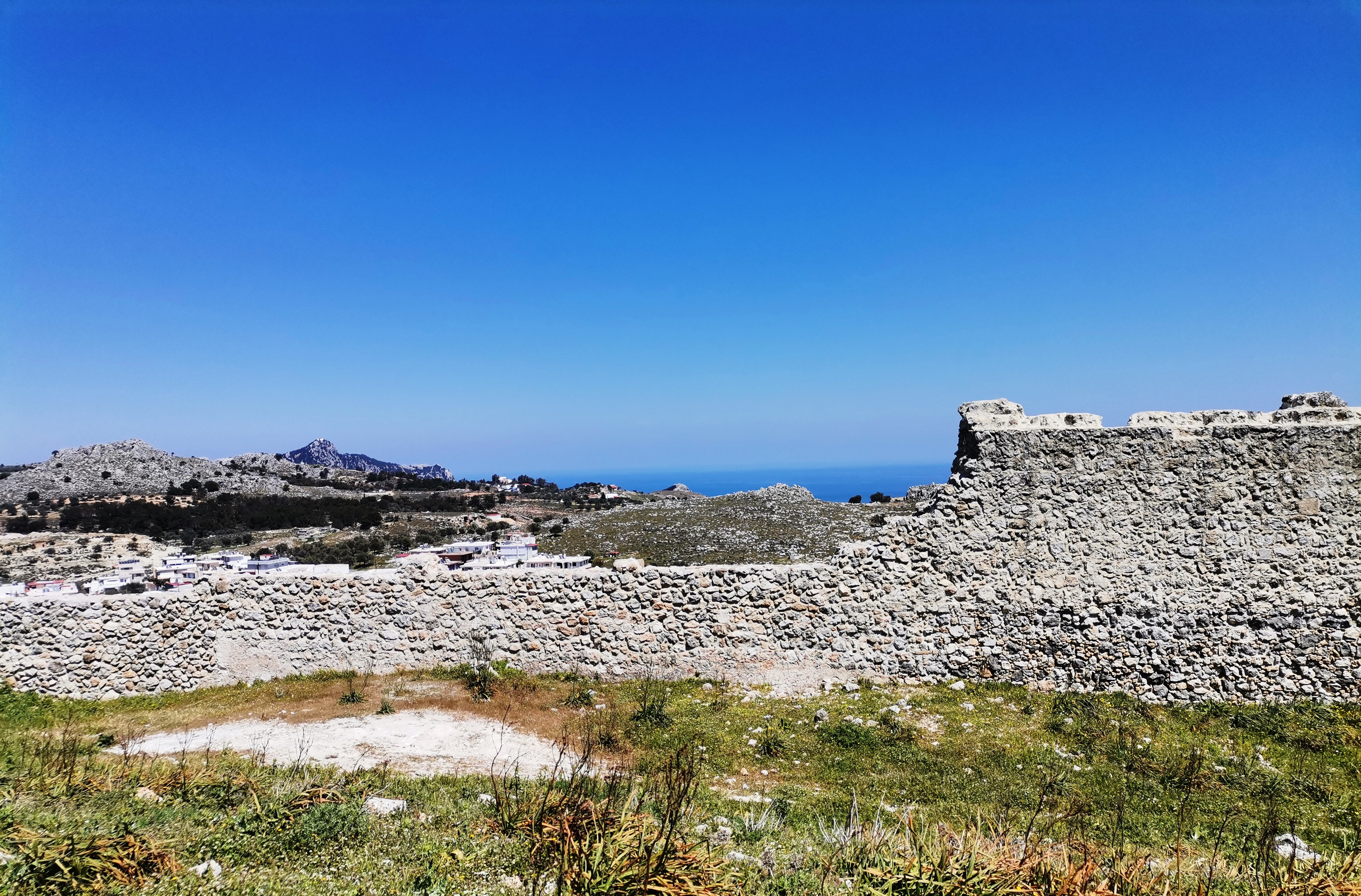
During the two hundred year occupation of Rhodes by the Knights of St John or Knights Hospitaller (1300 to 1500) the island was managed by the eight “langues” – the name for the different nationalities. They built twelve defensive forts around the island. One of the Italian knights, a member of the huge Orsini family, built the fortification above Arhangelos (Castle of St John) in 1367. From the walls you can see the coast and be warned of approaching marauders. It is likely that there had been something there prior to this where the locals would look out for pirates and other invaders.
The other castles are clockwise from Rhodes Town, which has two, Koskinou, Farakos (Haraki), Lindos, Lardos (inland), Asklipieio (also inland) then a big gap around the southern tip of Rhodes until you get to Monolithos on the west side. There are a couple on the western islands of Halki and Alimia, then another big gap up to two close together at Kremasti and Filerimos. Obviously the South and Western sides of Rhodes were deemed to be of lesser interest to the invaders.
Most are located on ancient sites, in the case of the Lindos Acropolis, a medieval fortress enclosing an ancient site!
Once the Knights were vanquished by Suleiman the Great and Ottoman ruled the island for the next four hundred years, Karla surmises that the Turks kept mainly to Rhodes Town, and left the Greeks to manage their small holdings without too much interference. This small agricultural town was isolated, a good distance from the main town and so the ensuing changes of rule didn’t affect them so much. The much more recent Italian rule of the Dodecanese did have some effect, as can be seen from the municipal building.
Young Archangelides, like many Greeks in the 20th century, headed overseas for work and to make money to start their own businesses and families. Germany was a popular guest worker destination, evidenced by many speaking good German here. Those remaining in the town kept their identity, traditional clothing being worn well into the 1990’s. In particular the locals wore footwear called snake boots – a double folded type of boot to ward against snake bites.

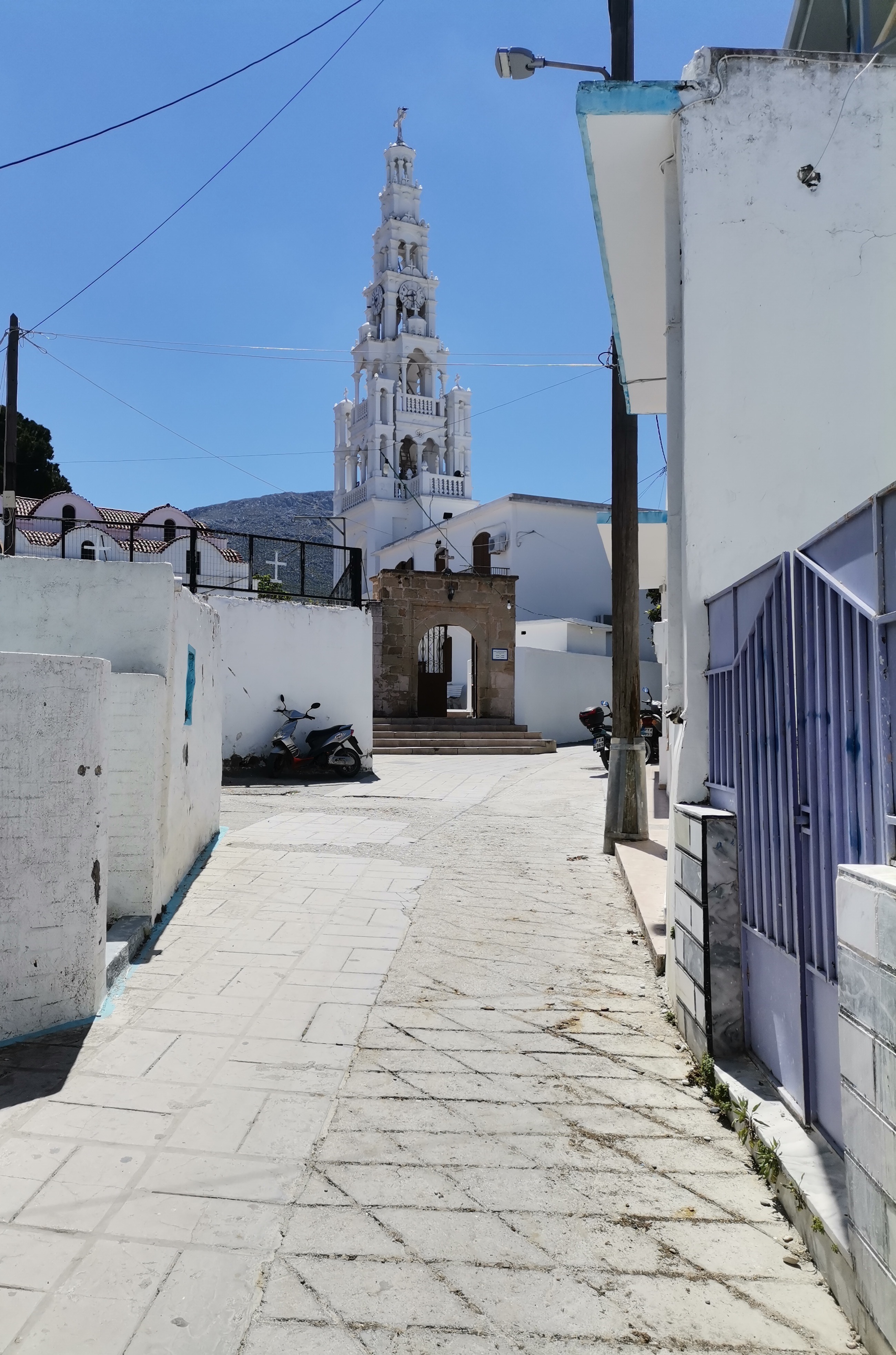
I was to discover that Archangelos doesn’t really have a town square, as many Greek villages do, just a large junction of a couple of main roads. Hidden behind and to the south of the junction is the administrative centre with the Italian built town hall. Moving further south and uphill we explored the alleyways of the older part of town, finally arriving at St Michael’s church – the eponymous archangel. This is the usual huge wedding cake structure, filled with iconic wall paintings, rich gold decorations and candelabra.
Locally the 8th November, St Michael’s day, used to be a public holiday. Now not so much but a big celebration nonetheless, along with another St Mary celebration later in the same month. Other churches proliferate around the village of course, most seeming to be older and smaller than that of St Michael, but all beautifully kept.


After visiting St Michael church we headed up through the winding streets, finally finding narrow passages between or through back yards to get to the top of the hill and the castle. Little remains apart from the external walls over which we could see the sea and the coast to the north of the town. A small chapel has been constructed in a pit within the walls, presumably later. Old carpet has been spread under the trees outside the sunken church, offering the worshippers somewhere to sit in the cool after the hot climb.


We clambered around the ruins before deciding it was lunchtime. Karla suggested we go down to the beach at Stegna, where we had a very pleasant meze lunch. Stegna means “dry” – the area has no natural water supply. A small harbour would have provided the local fishermen with a safe haven for their boats, while being able to retreat to the safety of the inland town up the vertiginous paths.
After a very pleasant day it was time to return home and gather my thoughts and photos to create this episode. Many thanks to Karla who helped to put this together.